Nquthu Local Municipality

OVERVIEW
Contact Details

Postal: Private Bag X5521, Nquthu, 3135
Physical: 83 Mdlalose Street, Nquthu
Tel: 034 271 6100
Fax: 034 271 6111
Web: www.nquthu.gov.za
Geography, History and Economy
Area: 1 962km²
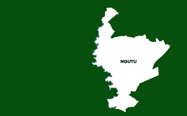
Description: Nquthu Local Municipality is an administrative area in the uMzinyathi District of KwaZulu-Natal. Nquthu is an isiZulu name meaning ‘the back of the head'. Isandlwana, the site of the historic Anglo-Zulu War battle that took place on 22 January 1879, is a well-known tourist destination worldwide. Nquthu Local Municipality is located along the north-eastern boundary of the district. It borders onto the Endumeni, eMadlangeni, AbaQulusi, Ulundi, Nkandla and Msinga Local Municipalities. It is predominantly rural in nature, with expansive rural settlements being one of the major features. It is mainly accessed through the R68 linking Ulundi to Newcastle/Dundee. Other important roads through the municipality are the R33, passing through the northern areas, passing east oNondweni before linking Vryheid with the R68. A gravel road links Nquthu with Kranskop. Nquthu Town is a small but stable urban area that has established itself as the primary commercial, administrative and service centre for the municipality as a whole. The town is an old ‘Japie Uys' town established in terms of Proclamation 67 of 1983.
Cities/Towns: Nquthu
Main Economic Sectors: Sheep and wool, agriculture, SMMEs


