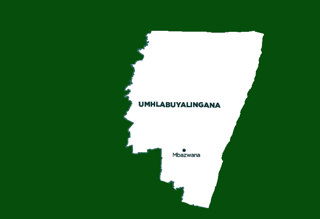
uMhlabuyalingana Local Municipality
OVERVIEW
Contact Details

Postal: Private Bag X901, KwaNgwanase, 3973
Physical: R22 Main Road, 01 Manguzi, Manguzi
Tel: 035 592 0680
Fax: 035 592 0672
Web: www.umhlabuyalingana.gov.za
Geography, History and Economy
Area: 4 402km²
Description: uMhlabuyalingana Local Municipality consists of a number of District Management Areas (DMAs), which fall under the municipal jurisdiction of the uMkhanyakude District Municipality, as well as the urban settlements of Manguzi, Mbazwana, Mseleni, Sikhamelele and Mboza. The DMAs are located along the northern, eastern and southern boundaries of the municipality. The major structuring elements of the uMhlabuyalingana Municipality are the Pongola River along the western boundary, the road from Sikhamelele to Manguzi (east-west linkage), and the recently completed road (MR22) from Hluhluwe. The municipality is extremely rural, with informal settlements at Mbazwana and Manguzi. The area is influenced by the influx of people who migrate from Swaziland and Mozambique.
Cities/Towns: Mbazwana
Main Economic Sectors: Agriculture, mining, manufacturing, services


