Impendle Local Municipality
OVERVIEW
Contact Details

Postal: Private Bag X512, Impendle, 3227
Physical: 21 Mafahleni Street, Impendle
Tel: 033 996 6000
Fax: 033 996 0852
Web: www.impendle.gov.za
Geography, History and Economy
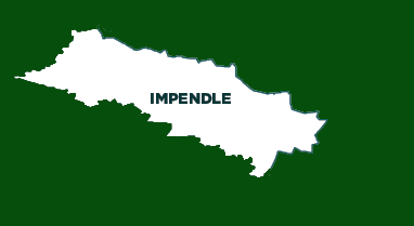
Area: 1 528km²
Description: Impendle Local Municipality is located outside the primary and secondary movement systems of the uMgungundlovu District, and is some distance away from the major tourist and trade routes, although two important roads mark its borders. The road linking Pietermaritzburg and Underberg that serves as an important access route to the Southern Drakensberg, a popular tourist destination, runs along Impendle's southern boundary. The link road between Mooi River and Underberg, which is an alternative tourist route, travels along the municipality's north-western boundary.
The Impendle area is extremely diverse in its topography, climate and soil, and has a rich and complex natural environment. Its location at the foot of the Drakensberg makes Impendle a highland area and an important source of water within the KwaZulu-Natal province. It is in the catchment area of the Mkhomazi River in the south and the Mngeni River in the north-east. High-density settlements occurs around Impendle Town, in villages such as Gomane, KwaNovuka, Similobha and Kamensi. A second layer of relatively dense settlements occurs on the eastern side of the Impendle Mountain, while density decreases sharply towards the west, with a ribbon of small villages running along the Lotheni River.
Cities/Towns: Impendle
Main Economic Sectors: Agriculture, tourism, social services


