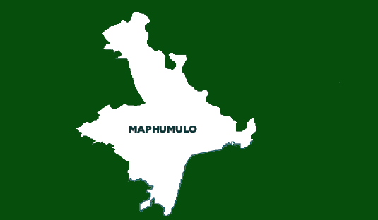
Maphumulo Local Municipality
OVERVIEW
Contact Details
Postal: Private Bag X9205, Maphumulo, 4470
Physical: MR 711, LOT 152, Maphumulo
Tel: 032 481 4500
Fax: 032 481 2053
Web: http://maphumuloonline.gov.za
Geography, History and Economy
Area: 896km²
Description: Maphumulo Local Municipality is an administrative area in the iLembe District of KwaZulu-Natal. Maphumulo is an isiZulu name meaning ‘place of rest'. The municipality is predominantly rural, mostly comprising tribal land, which is administered by the Ingonyama Trust on behalf of local communities. Sugar cane cultivation is the predominant economic activity and land use in the municipality. Subsistence agricultural activities in the form of small cropping areas attached to traditional family units dominate land usage. The R74 Main Road provides access from KwaDukuza to the hinterland and then leads on to Kranskop and Greytown. The linkage to the N2 is vital as it provides for migrant labour transport, and access to commercial and employment markets in the Durban Metro and to theTongaat/Maidstone, the Dolphin Coast, KwaDukuza, Darnall and Isithebe areas.
Main Economic Sectors: Government services, agriculture


