Ingwe/Kwa Sani Local Municipality
OVERVIEW

Ingwe/Kwa Sani Local Municipality was established by the amalgamation of Ingwe Local Municipality and Kwa Sani Local Municipality on 3 August 2016. Management, Demographic, Financial, Employment and Service Delivery information is not yet available for the new municipality. View historic information for Ingwe Local Municipality and Kwa Sani Local Municipality.
Geography, History and Economy
Area: 3 602km²
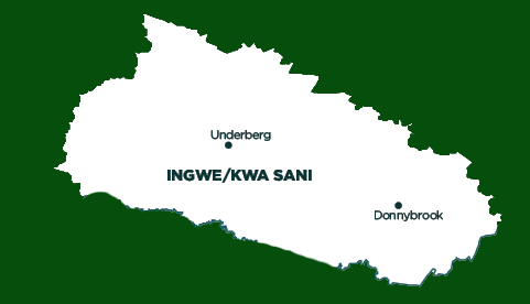
Description: Ingwe/Kwa Sani Local Municipality is situated in the southern part of KwaZulu-Natal and falls under the Harry Gwala District (previously Sisonke District), which borders on the Eastern Cape and Lesotho. It was established by the amalgamation of the Ingwe and Kwa Sani Local Municipalities in August 2016. It is the largest municipality within the district, constituting 35% of the area.
Ingwe/Kwa Sani Local Municipality fulfils the role of being the administrative and commercial centre for the district. The rest of the municipal area consists of tribal lands, which dominate the area. The municipality is known for the World Heritage Site of Ukhahlamba.
Cities/Towns: Creighton, Himeville, Underberg
Main Economic Sectors: Agriculture, tourism


